The Mystic River Watershed Association (MyRWA) is excited to share the Alewife Brook and Mystic River Greenways Wayfinding Plan, a comprehensive effort completed with permission from the Massachusetts Department of Conservation and Recreation (DCR). The plan formally introduces a new system of signage along the Mystic River and Alewife Brook Greenways, from the Mystic Lakes and Alewife all the way downstream to Boston Harbor.
What is wayfinding?
Wayfinding is about helping people find their way in unfamiliar places and making it easier for people to follow new routes and get where they need to go, often through improved signage and trail markings.
The Mystic Greenways network has some existing wayfinding, like the granite posts that mark the entrances to DCR pathways, but it lacks a comprehensive network of signs across the whole network.
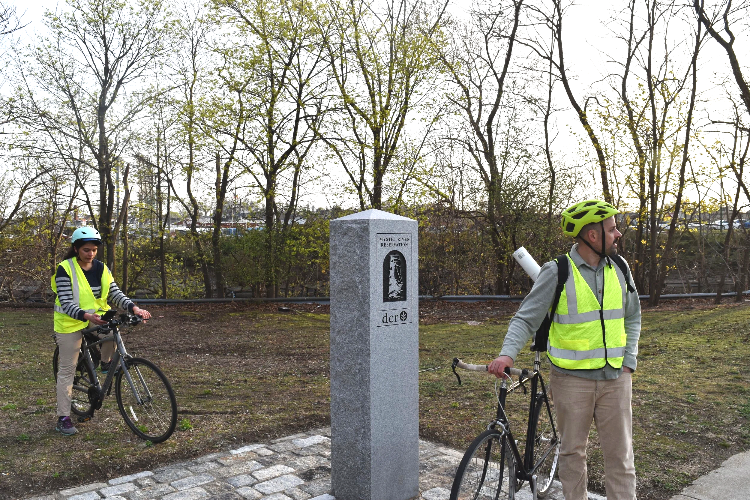
Mystic River Reservation DCR granite plinth with clippership graphic. Photo: Isaiah Johnson
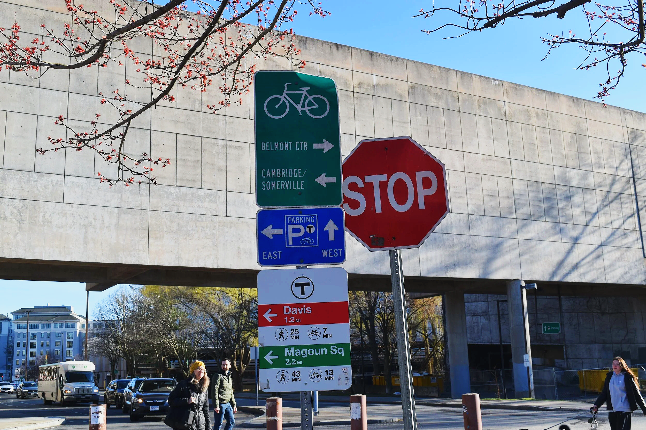
Existing wayfinding signage near Alewife MBTA station. Photo: Isaiah Johnson
Why a wayfinding plan?
After more than a decade of advancing our Mystic Greenways vision for 25 miles of connected parks and paths along the Mystic River and its tributaries, we have seen many new connections, parks, and paths come to fruition, from the Clippership Connector to the Draw Seven Seawall Path, and many more are on the way.
As the network expands, we want people to know where they are and where they’re going, especially near key places such as transit hubs, economic centers, and recreational areas. We also want community members across the Mystic to feel a stronger sense of place, connection, and belonging when they are out by the river.
What’s in the plan?
The plan includes a proposed network of dozens of signs to be installed along the Mystic River Greenway from the Mystic Lakes to Boston Harbor — and the Alewife Brook Greenway from the Alewife MBTA station to its junction with the Mystic River. The signs include “confirmation” and “enhancement” markers with graphics and the names of the greenways, as well as “decision” markers with destinations, arrows, and distances.
Sample sign graphics, report p. 15. Click to expand. Credit: Toole Design
The sign designs follow the MassTrails wayfinding design guide (2022). The sign graphics, created in consultation with the Massachusett Tribe at Ponkapoag, incorporate Massachusett language and motifs representing important aspects of our watershed’s ecology and cultural heritage.
We are grateful to DCR, the Massachusetts Department of Transportation, and the many municipalities within the Mystic Greenways network for their support and collaboration. We are also grateful to the many community members and community organizations who participated in the development of this plan through workshops, walk/bike audits, and online feedback.
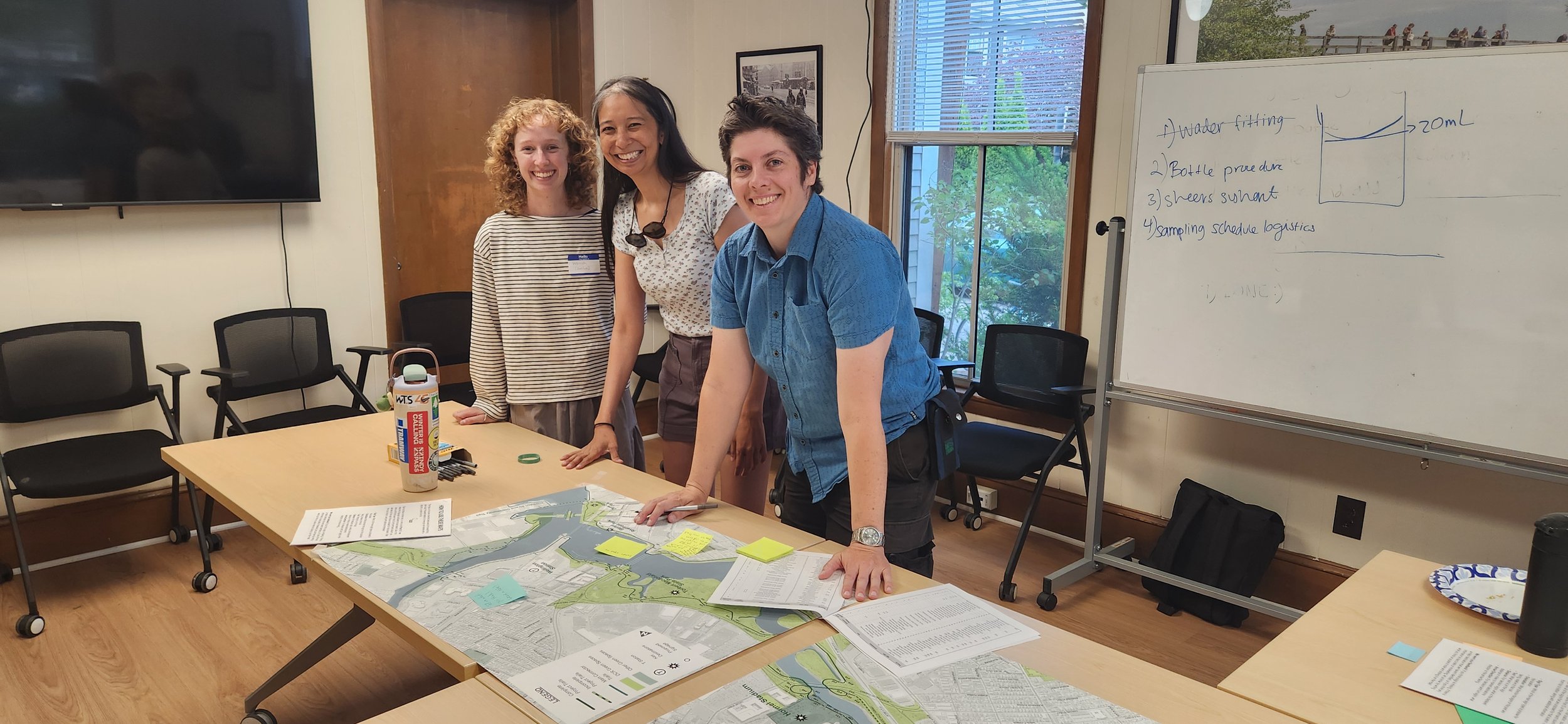
Wayfinding community workshop at MyRWA’s office in June, 2026. Credit: Karl Alexander
What’s next?
We are in the process of fundraising for the installation of signage on all existing greenway segments identified in the wayfinding plan. We will also be working with landowners of segments currently under development — or planned for future development — to ensure the signage is incorporated.
We are so excited to share this plan with our community. To learn more about our Mystic Greenways work, visit www.mysticriver.org/greenways and subscribe to our newsletter to stay up-to-date on our Mystic Greenways progress.
Mystic Greenways progress as of July, 2026. Credit: MyRWA